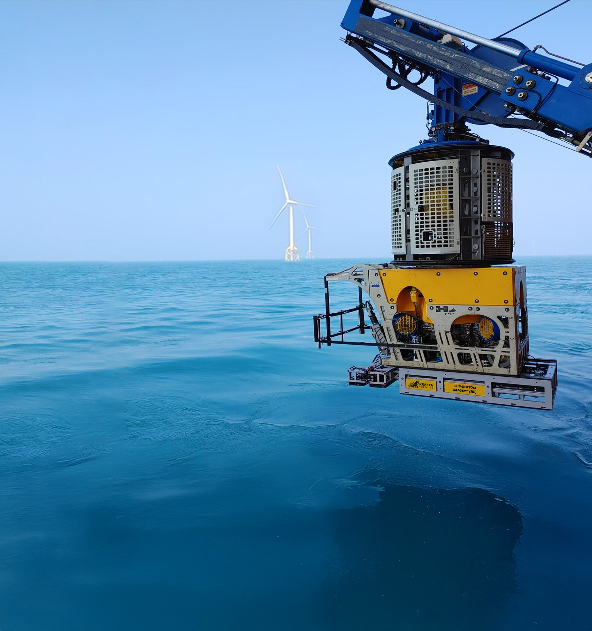
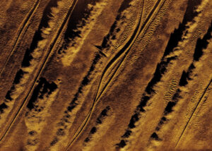
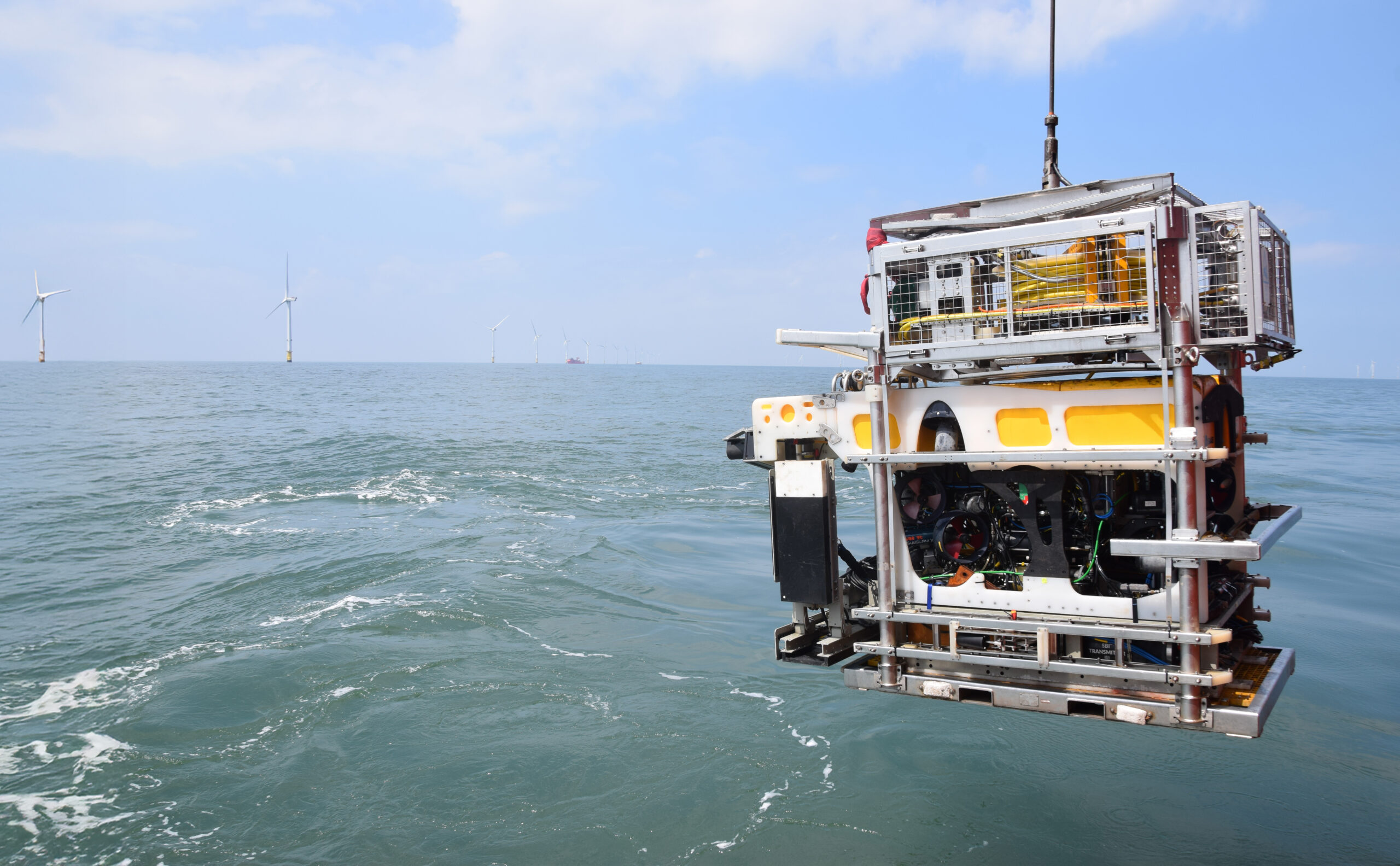
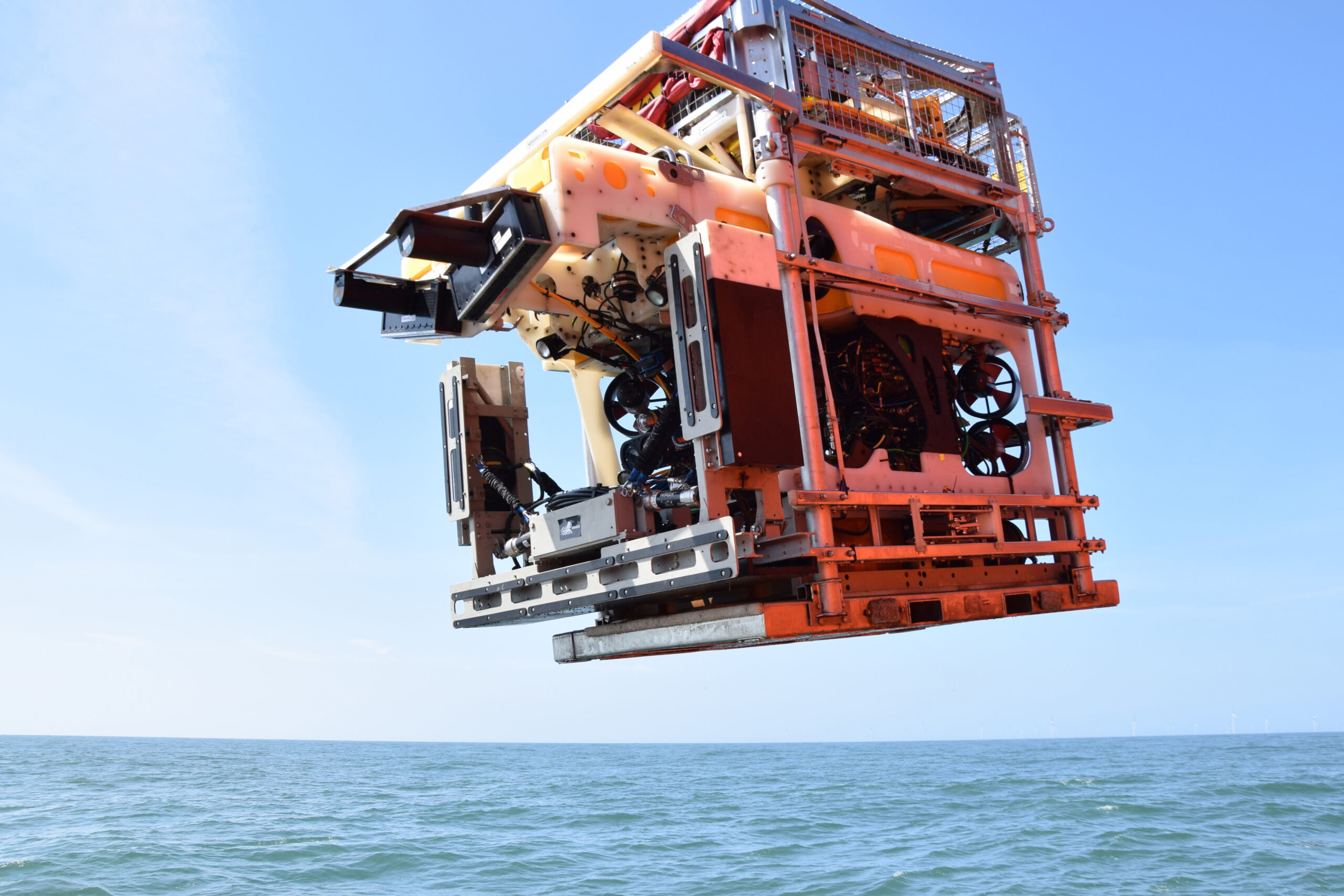
Kraken’s Sub-Bottom Imaging services
allow you to see beneath the seabed
using advanced acoustic technology.
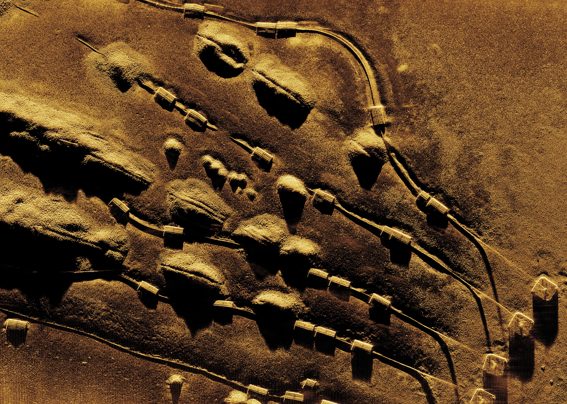
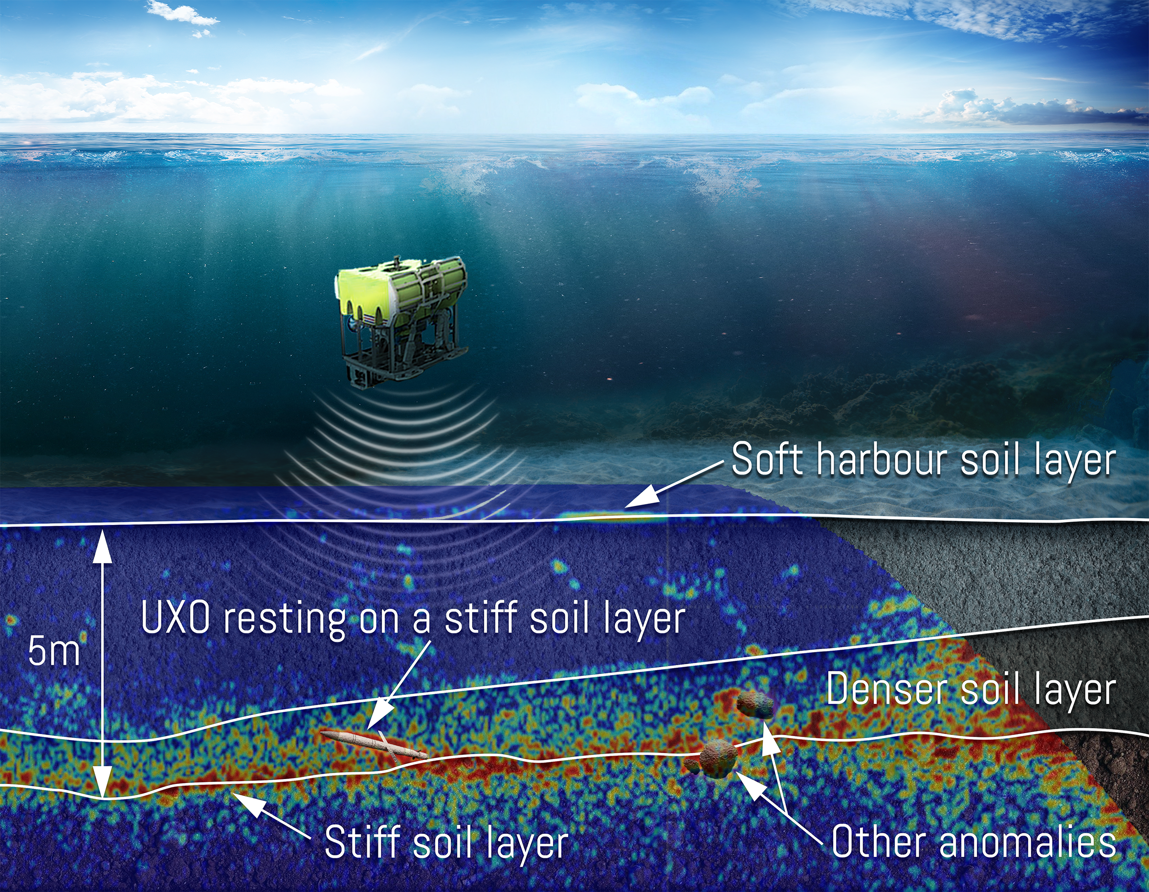
Our Sub-Bottom Imager (SBI) delivers 3D
data, enabling a clear understanding
of subsea stratigraphy and hazards,
decreasing the risk of your offshore
and defence operations.
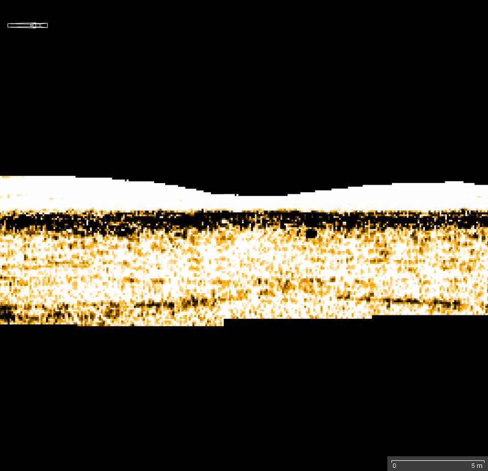
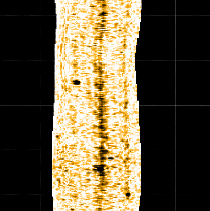
High Quality Data
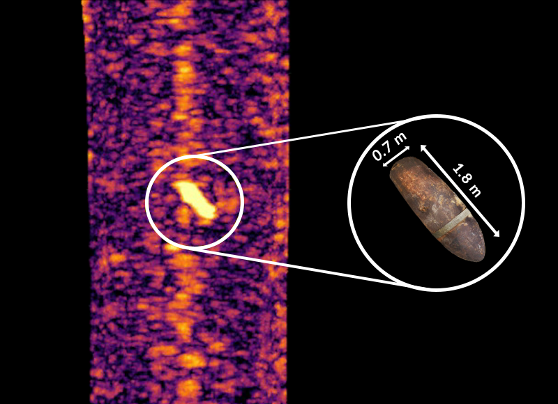
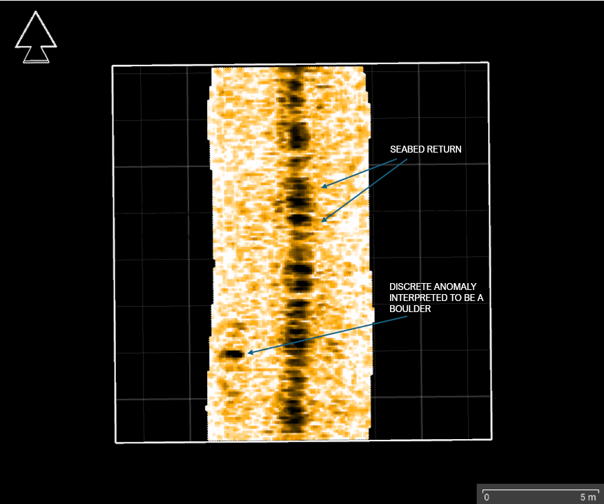
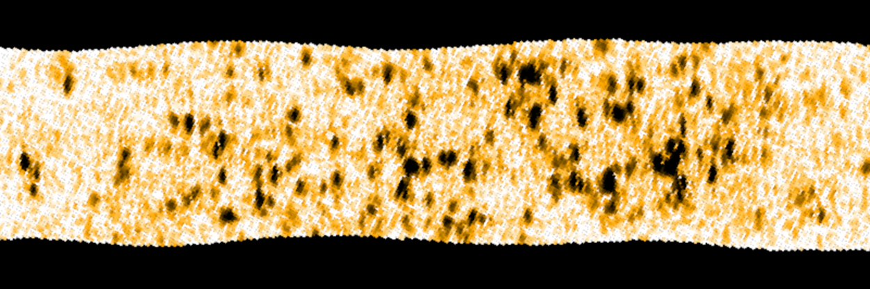
Identify buried objects, anomalies, geohazards, and stratigraphy to a 10 cm resolution at 5 m penetration depth and greater than 6 m swath
Unparalleled Accuracy
INS-aided positioning for georeferenced data
Simultaneous data acquisition with other sensors without interference
Maximized Efficiency
Real-time 3D view of the sub-seabed allows immediate target identification
Preliminary interpreted results delivered offshore during operations
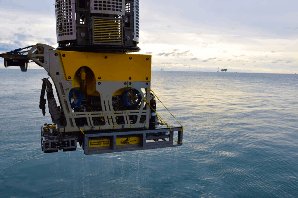
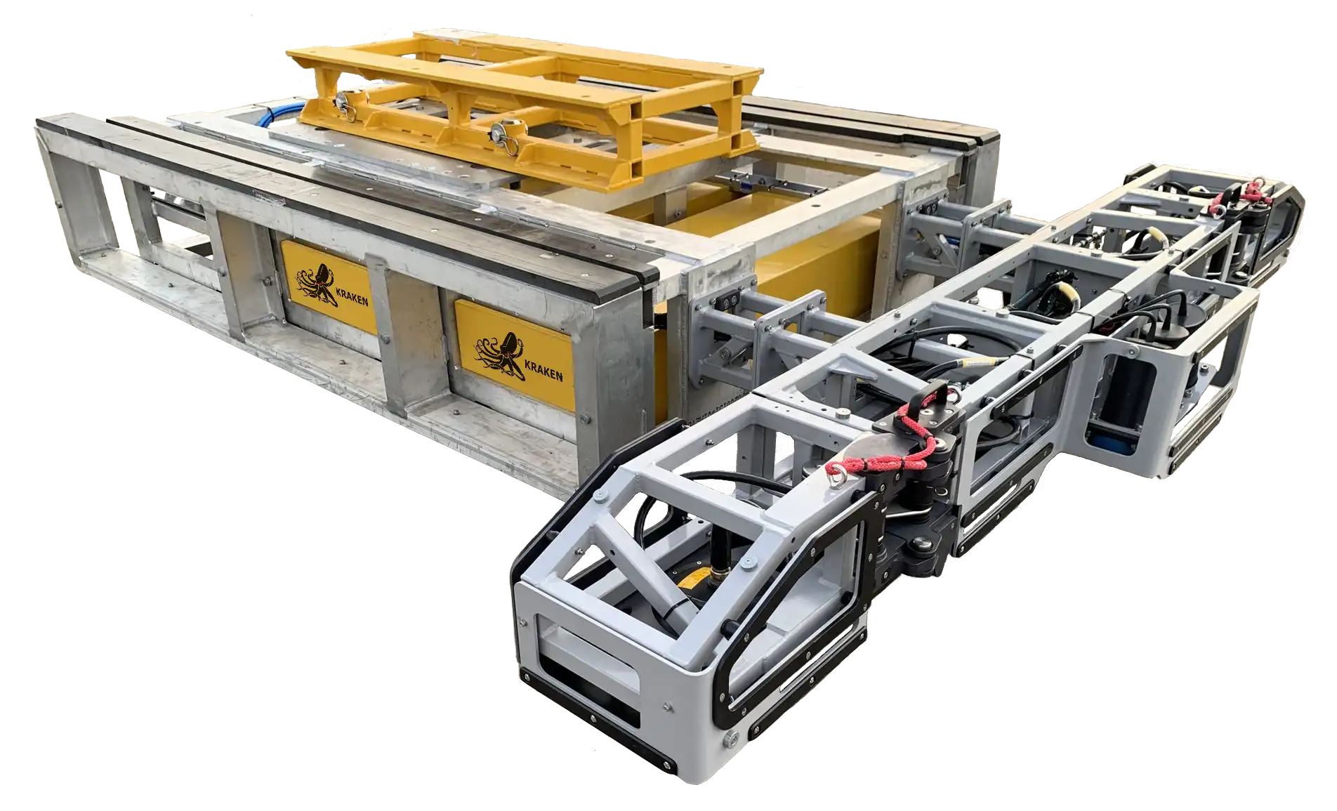
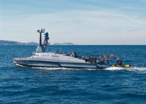
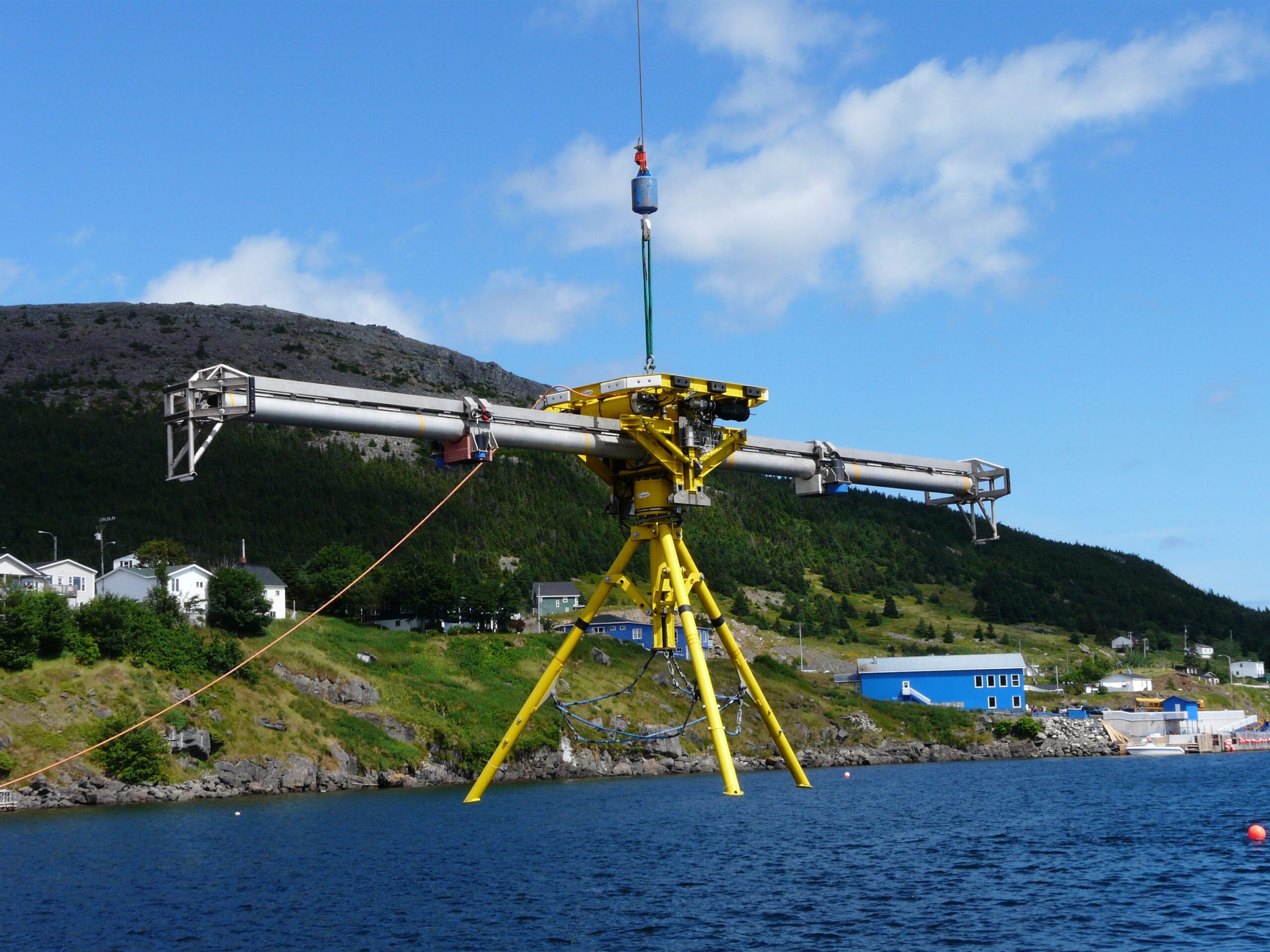
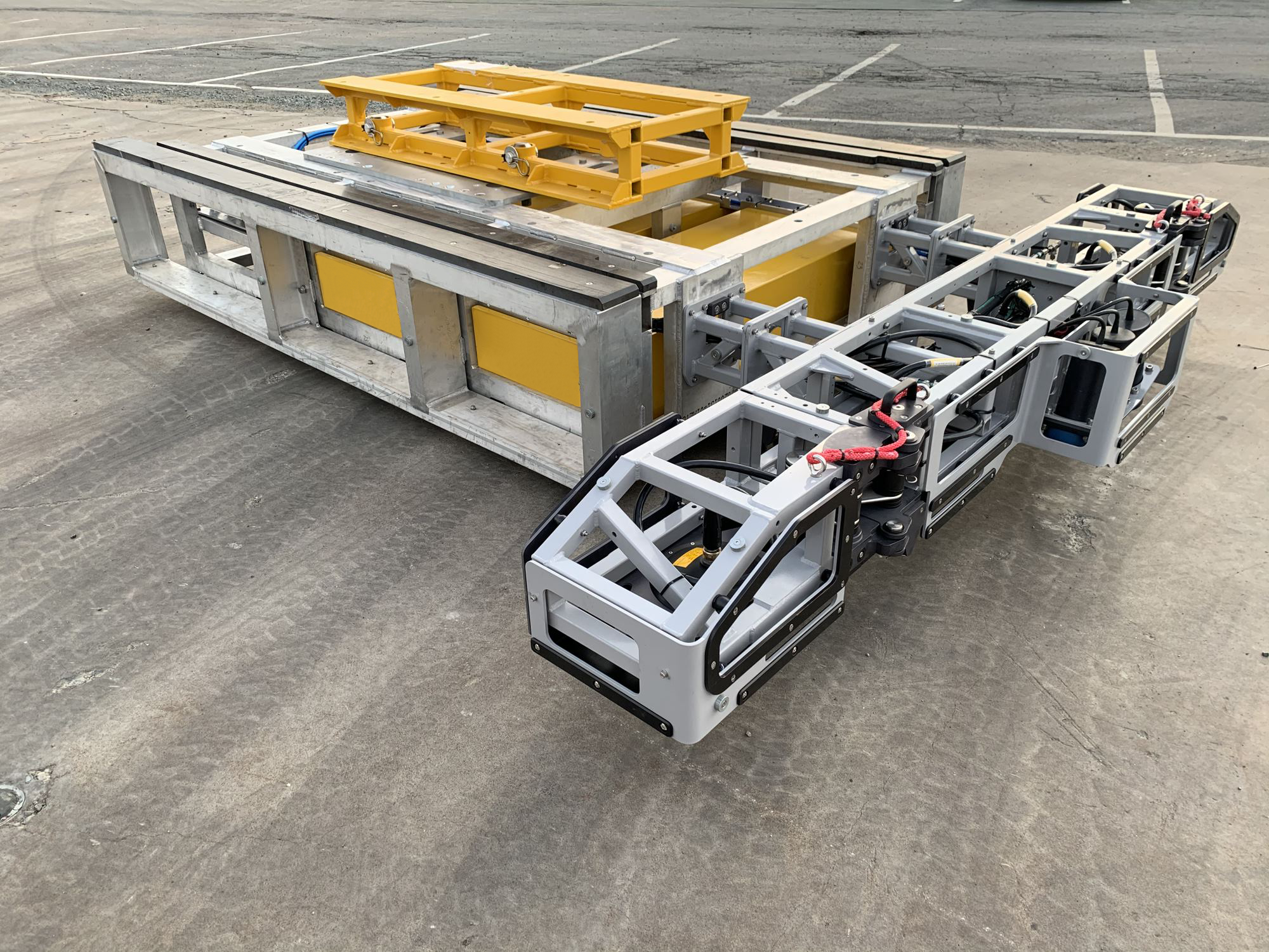
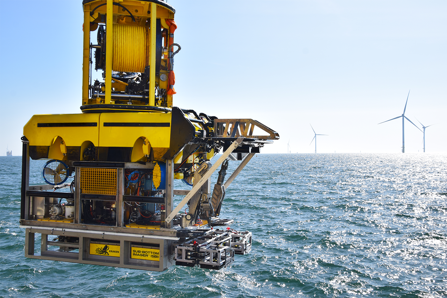
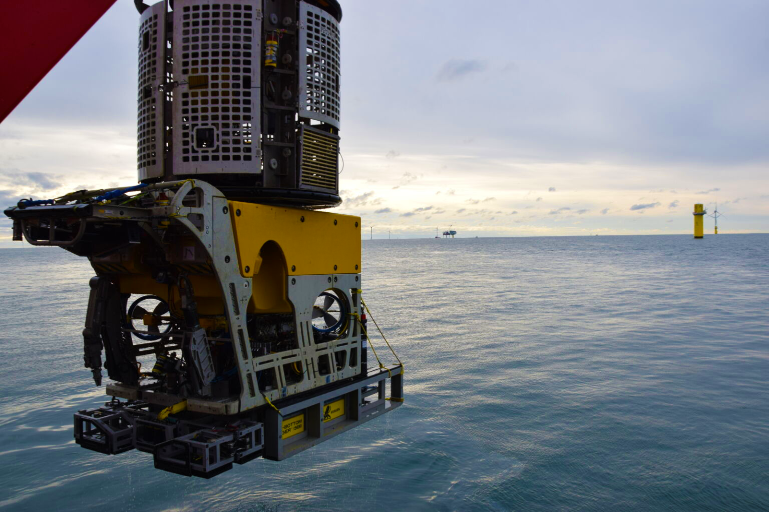
The SBI can be deployed from 3 to 500 meters on multiple platforms to meet all your survey requirements. The SBI ROV mount can be adapted to fit all work-class ROVs, with custom skids available to fit lighter ROVs.
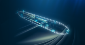
SeaKite
SeaKite allows high-speed SBI data collection up to 4 knots in waters up to 250 meters depth. This remotely operated towed vehicle (ROTV) can be utilized on a smaller vessel with smaller crew size compared to traditional ROV surveys.
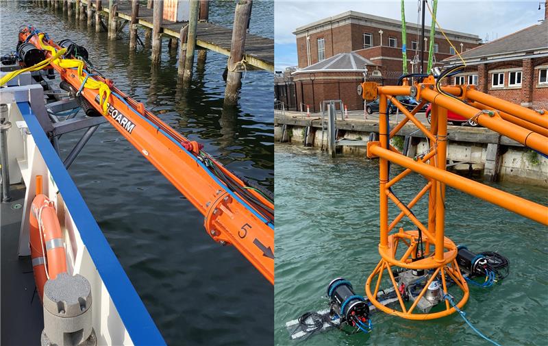
GeoArm & GeoLink
For nearshore applications, the SBI GeoArm and GeoLink can be mounted to vessels and operated in shallow waters up to 15 meters depth in areas such as ports, rivers, and nearshore environments.


