SUB-BOTTOM IMAGER™
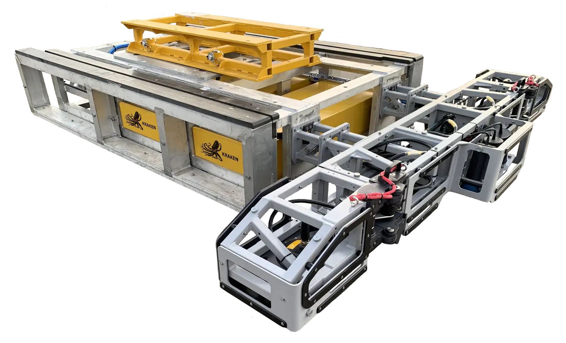
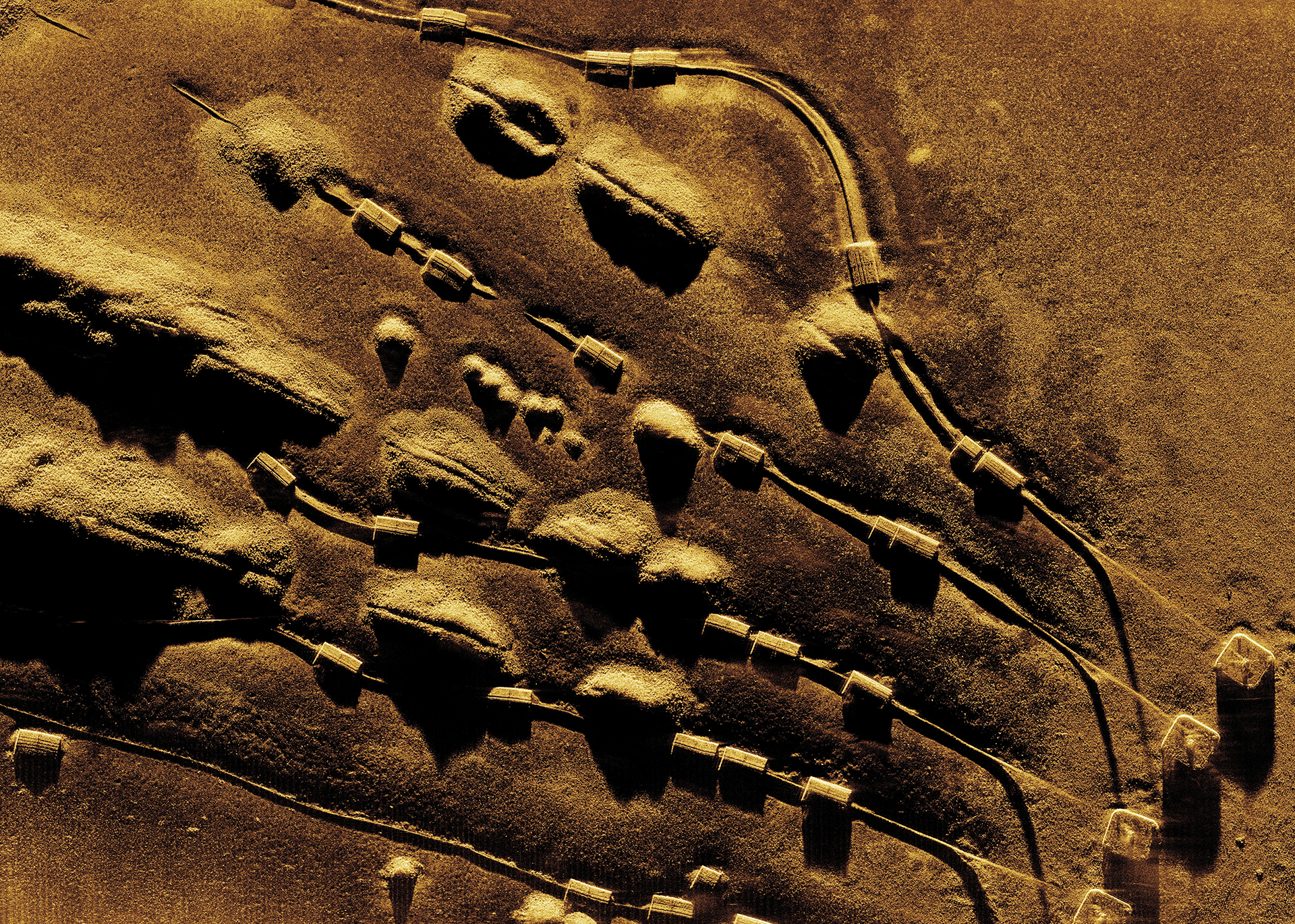
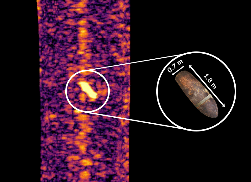
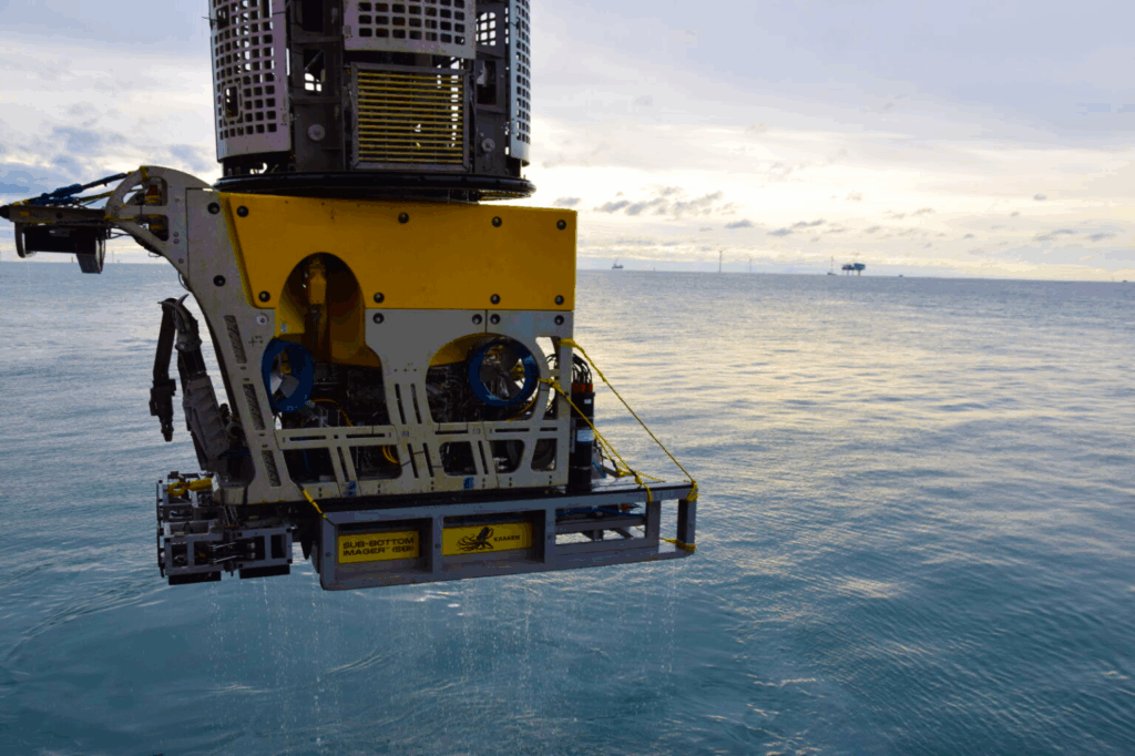
The Sub-Bottom Imager™ (SBI) uses advanced acoustic technology to image beneath the seabed. Applying state-of-the-art beamforming synthetic aperture sonar arrays, that provide a real-time 3D view of the sub-seabed, the SBI gathers highly accurate and usable data. By combining continuous 6 m wide data swaths, that penetrates the seabed up to 5 m, the SBI identifies buried objects, anomalies, geohazards, and stratigraphy to a 10cm resolution.
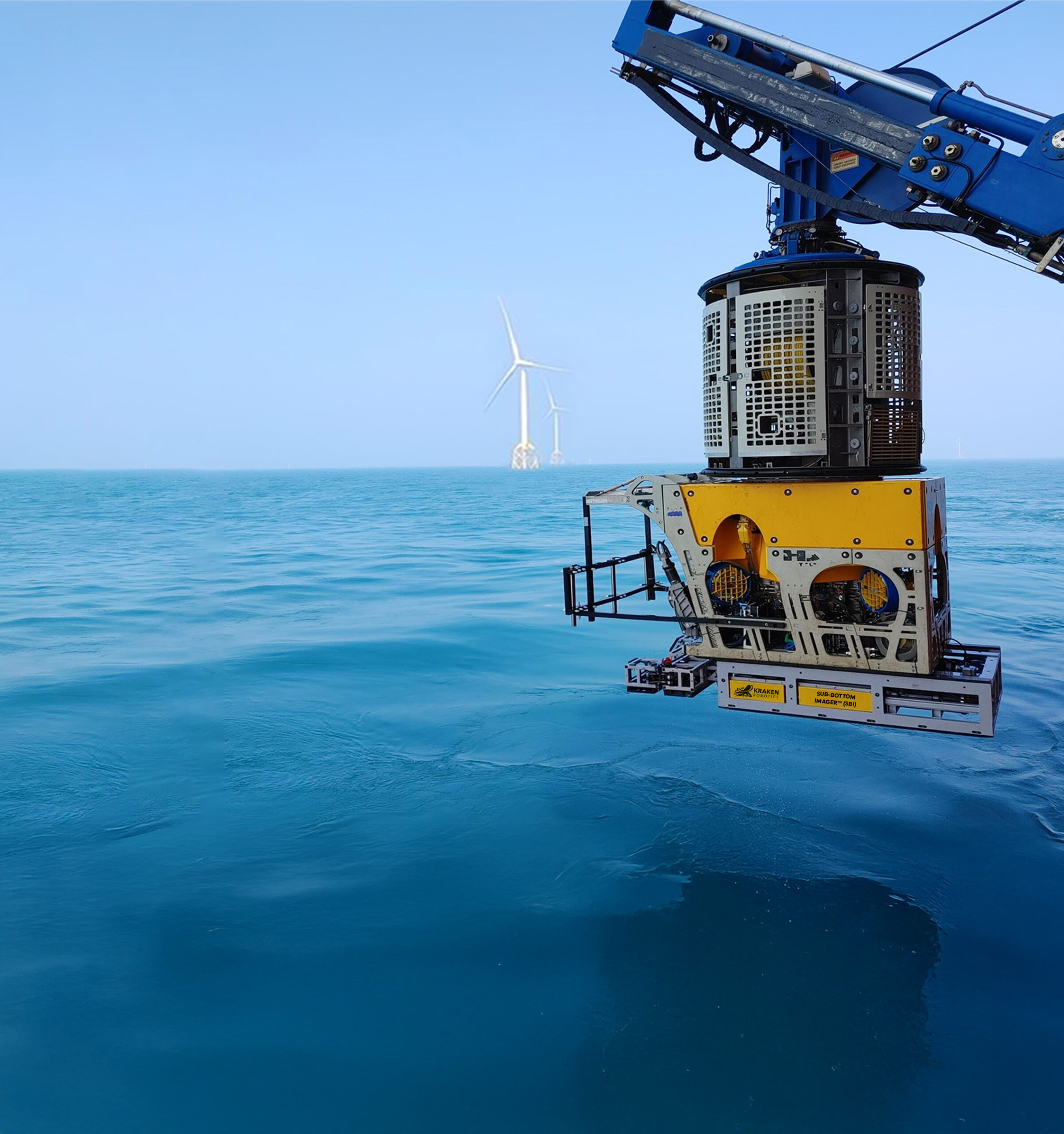
The SBI can be deployed on multiple platforms for all your sub-survey requirements. The SBI ROV mount can be adapted to fit all work-class ROVs with custom skids available to fit lighter ROVs. The SeaKite, a remotely operated towed vehicle (ROTV), allows high-speed data collection in waters up to 250 m. For nearshore applications, the GeoArm and GeoLink can be mounted to vessels and operate in shallow waters such as ports and rivers.
Depth of burial accuracy better than 10cm
- Cable remains energized during survey, eliminating the need for cable shutdown
Acoustic imaging of non-ferrous targets
Accurate position, sizing of all identified magnetic pUXO targets
- Location of all buried debris, assets, and concrete mattress
- Depth of burial accuracy better than 10cm
Models / Accessories
SeaKite™
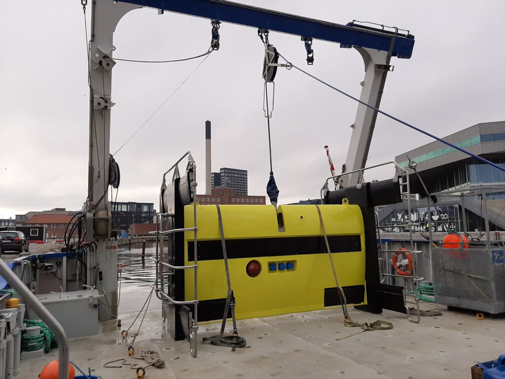
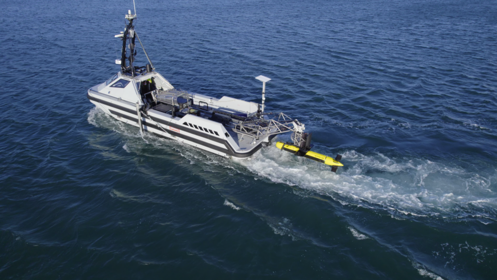
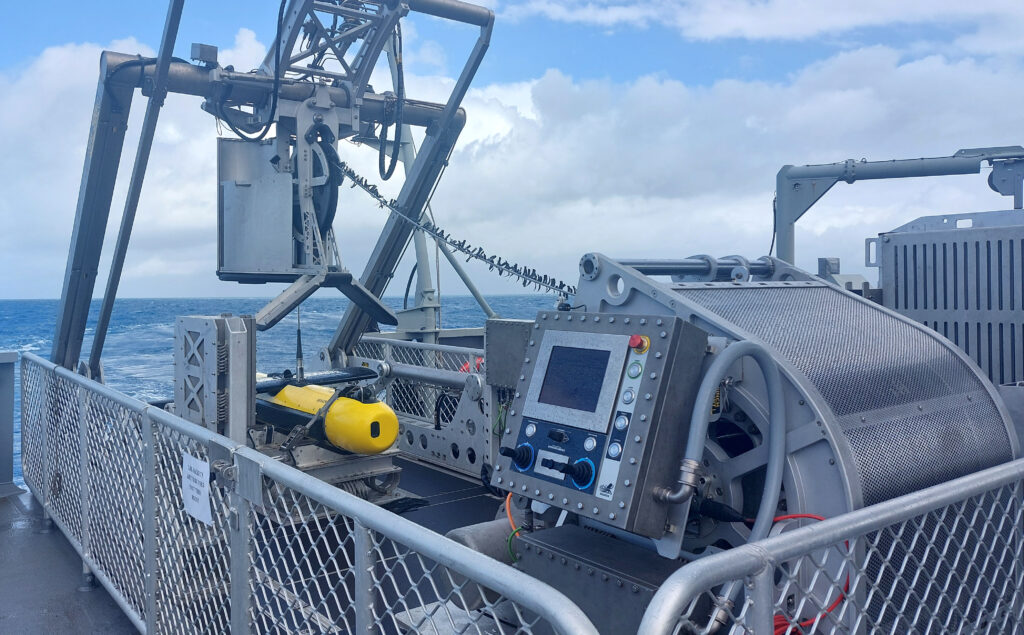
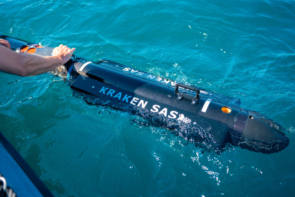
The SeaKite™ is Kraken Robotics’ next generation SBI deployment method, utilizing a Remotely Operated Towed Vehicle (ROTV) incorporated into the SBI. The high-speed depth of burial platform that operates in water depths from 7-250m and is 6x faster than ROV surveys by travelling at speeds up to 4kts. Having the same benefits as the ROV mounted SBI, the SeaKite™ images both ferrous and nonferrous anomalies.
GeoArm
(Nearshore)
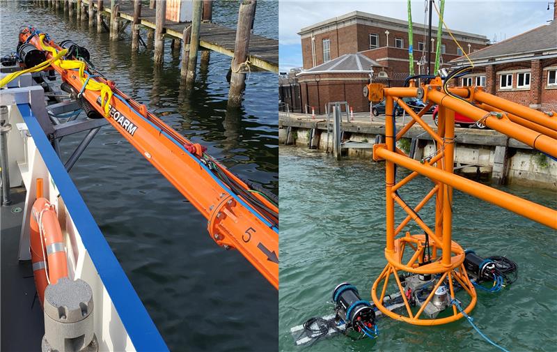
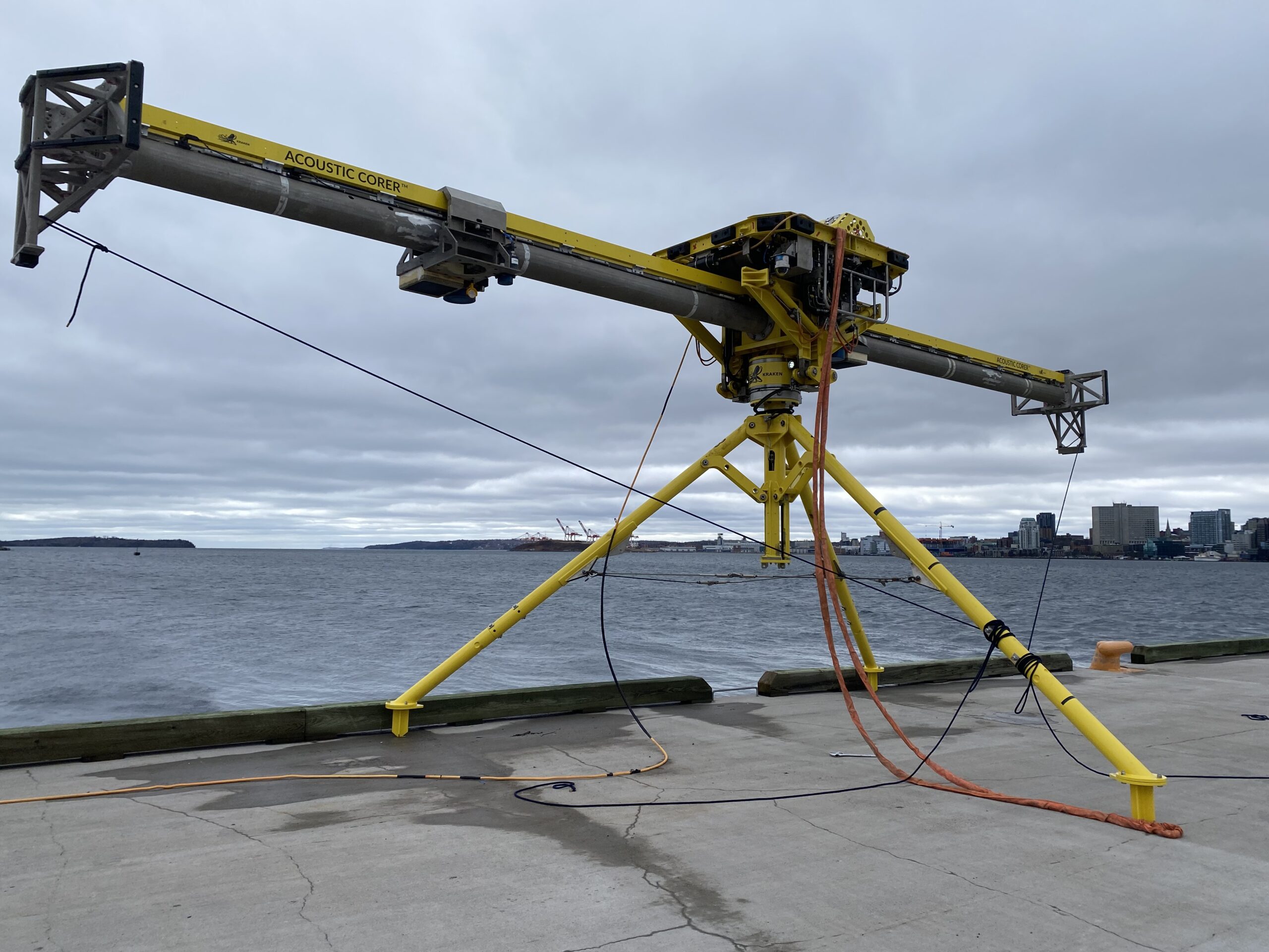
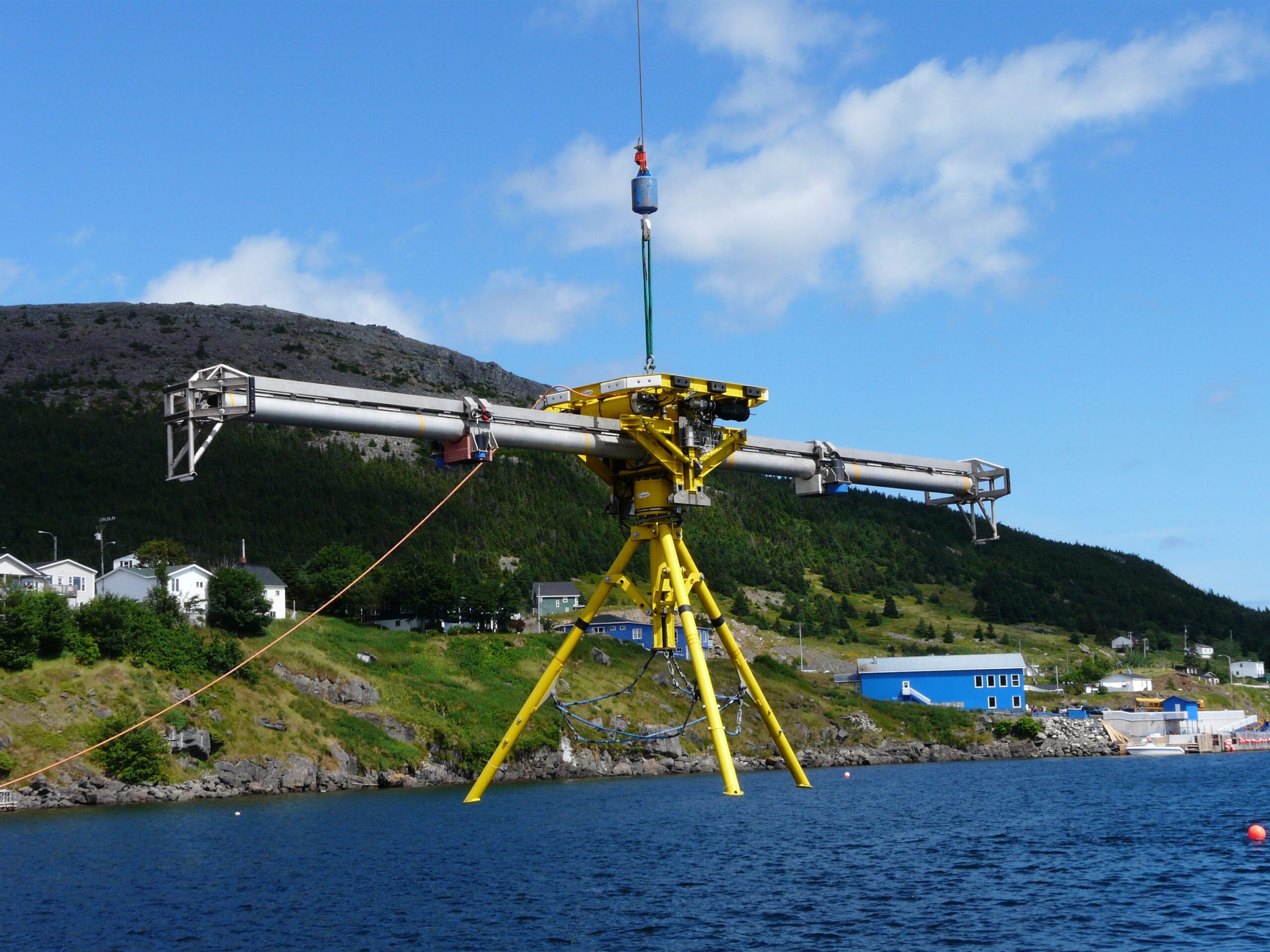
The GeoArm is a modular vessel mounted trailing arm, with integrated SBI technology, that is connected to the vessel via a top hinge and is lifted and lowered by a lift line. It comes equipped with a Hydraulic Power Unit (HPU) and Hydraulic Control Unit (HCU) and requires multiple components for its operation, including a vessel attachment frame, transit cradle, and a lifting mechanism.
GeoLink
(Nearshore)
The GeoLink is a launch and recovery parallel linkage system for the SBI whereby the SBI array remains attached to the structure as it is lifted and lowered to the required working depth. It is suitable for use in shallow and benign waters, rivers, and in and around port infrastructure. It comes equipped with a Hydraulic Power Unit (HPU) to control the SBI heading during survey.
Applications
Videos
Expertise
Kraken Robotics provides underwater technology solutions and expert services for subsea surveys and data acquisition. Kraken’s patented Sub-Bottom ImagerTM technology interrogates the sub-seabed to provide a 3D image of the position of buried anomalies, such as boulders and Unexploded Ordnances (UXO), which may threaten the integrity of pipes and cables. Sub-Bottom ImagerTM helps our customers to de-risk their offshore installations and enable efficient and safe site decommissioning.