Our Services
High quality survey data to support critical decision-making
LiDAR Solutions
Highly accurate 3D imaging for measurement, inspection, diagnostics, and asset monitoring
Sub-Bottom Imaging
See beneath the seabed with advanced acoustic technology
Acoustic Coring
Acoustic seafloor penetration to delineate subsea stratigraphy and identify hazards
Towed SAS Survey
High resolution synthetic aperture sonar data for rapid seabed mapping

LiDAR Solutions

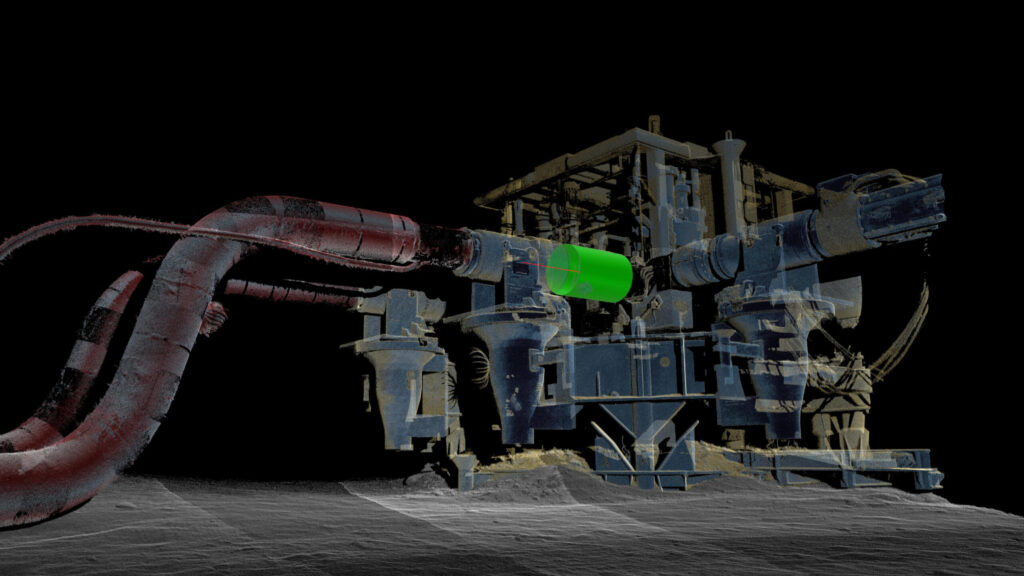
Kraken’s LiDAR solutions deliver millimeter-resolution metrologies, enabling informed decision-making on underwater assets and infrastructure.

Sub-Bottom Imaging

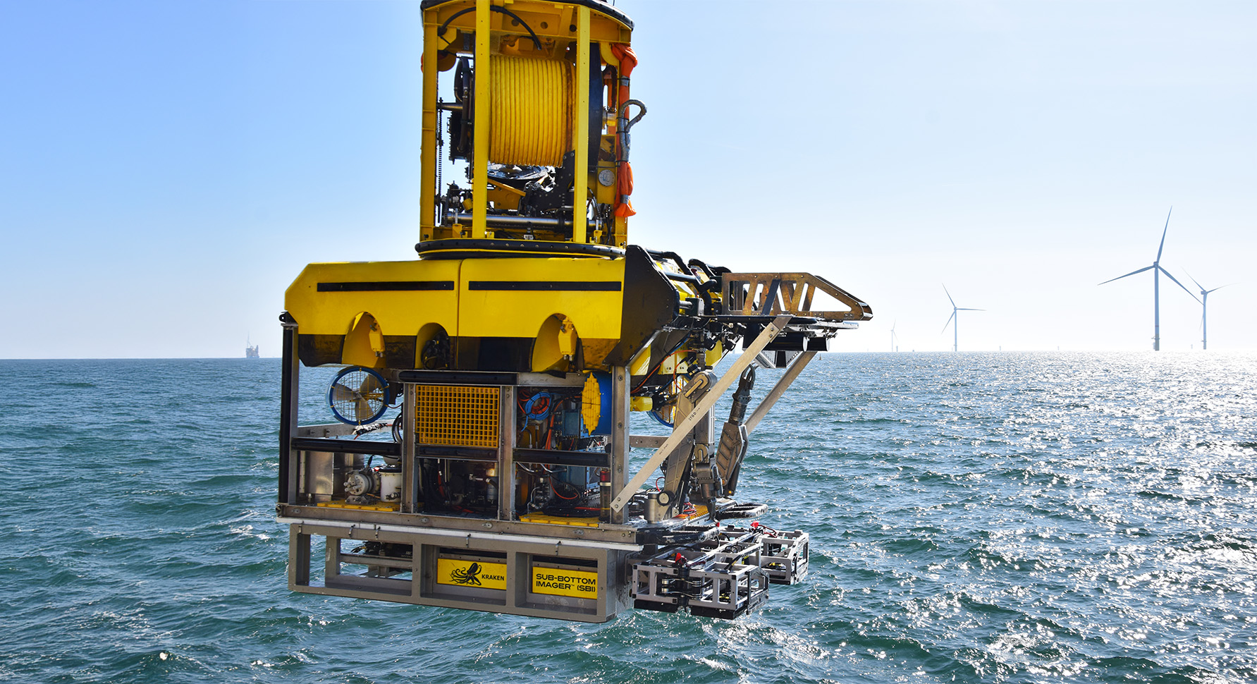
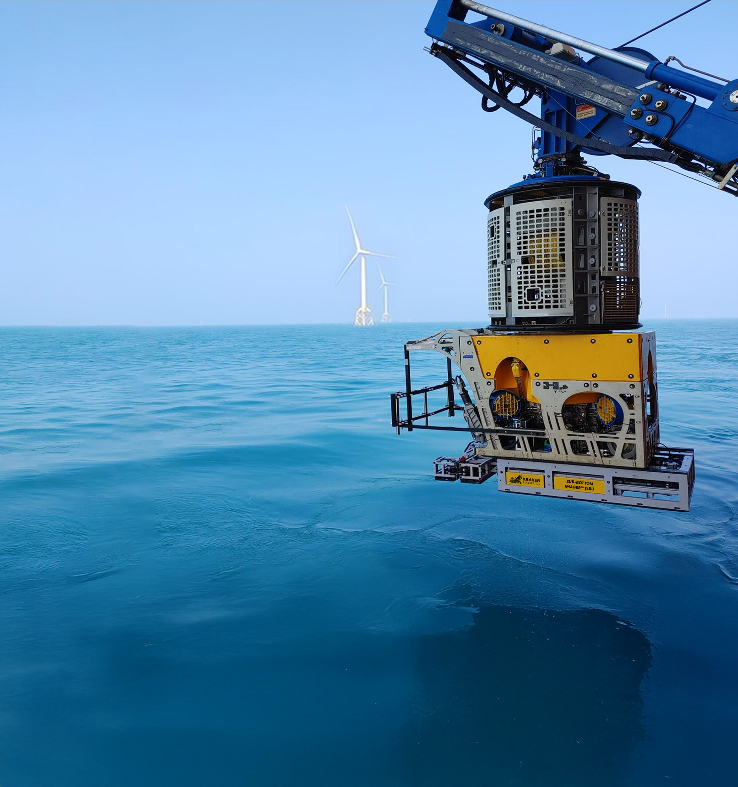
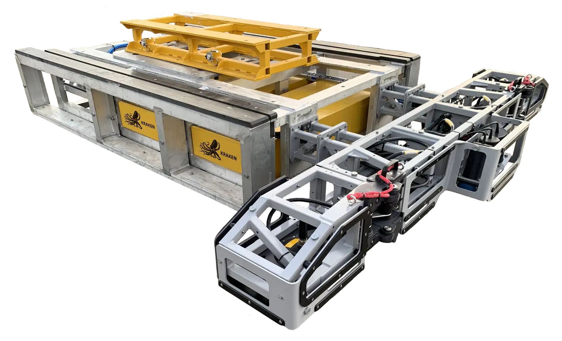
Kraken’s Sub-Bottom Imager delivers 3D data, providing a clear understanding of subsea stratigraphy, undersea infrastructure, and hazards.

Acoustic Coring

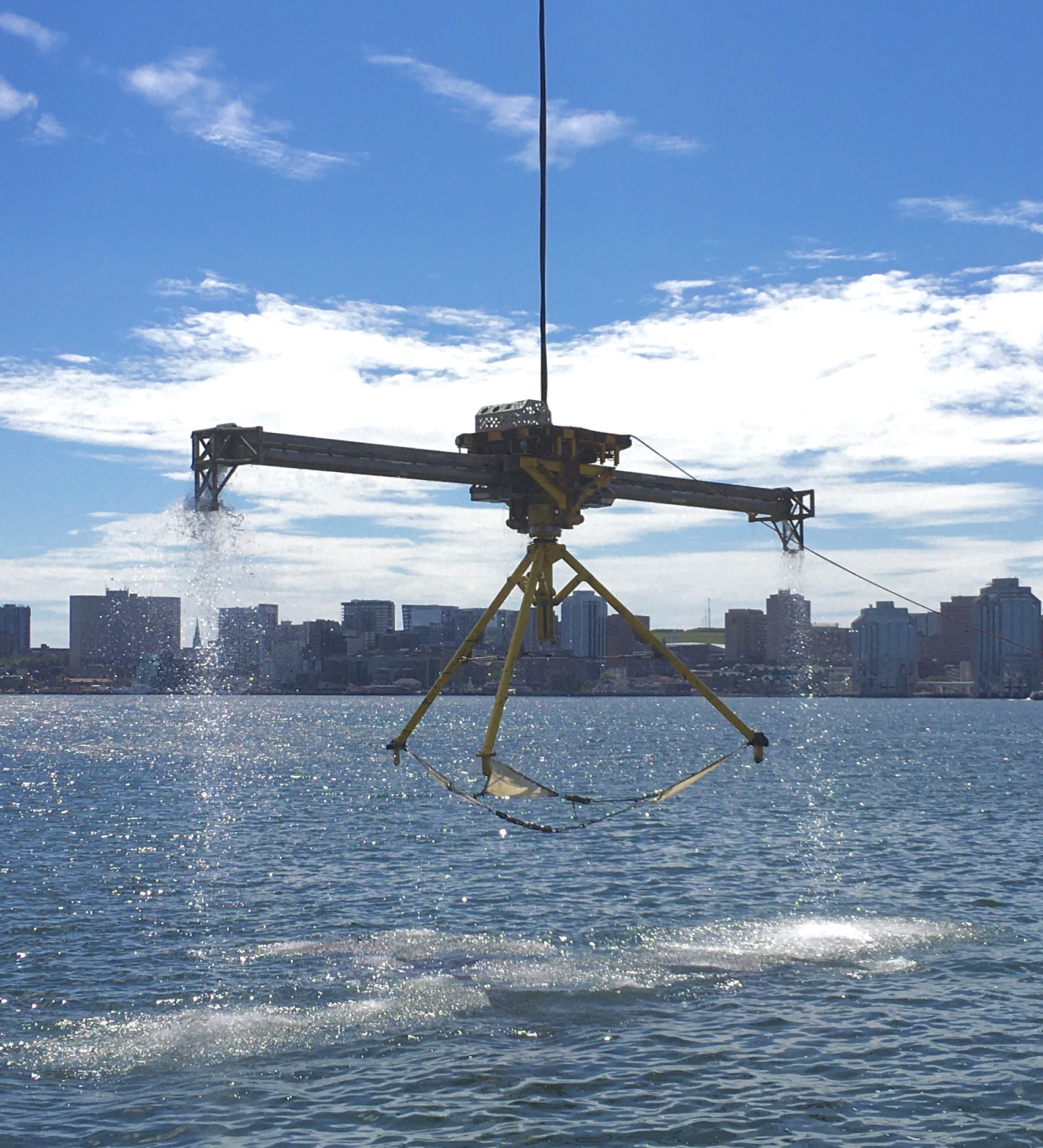
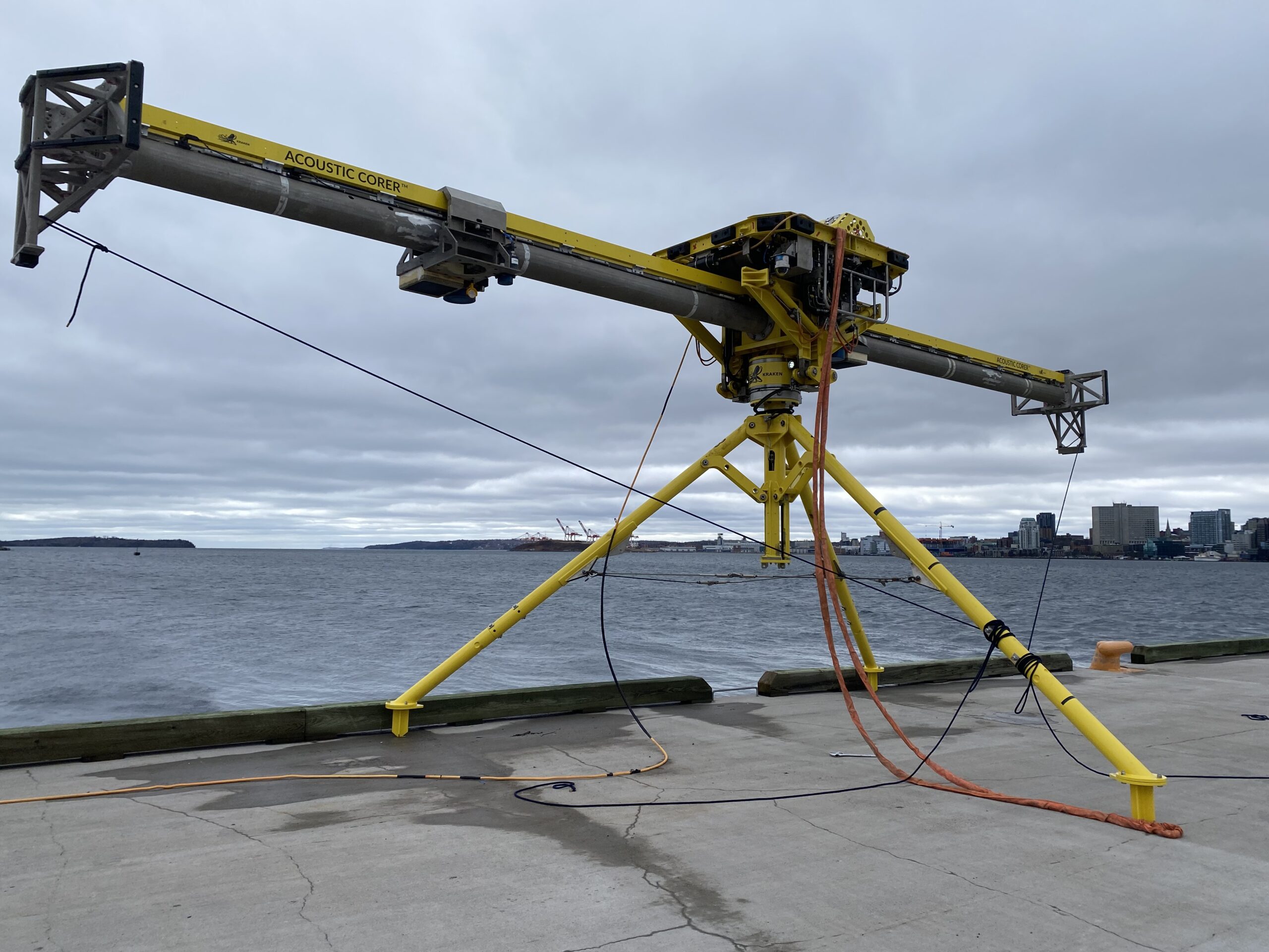
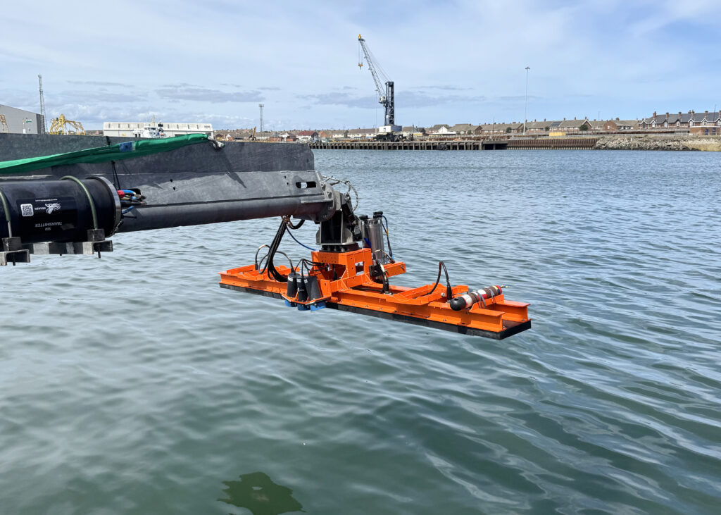
Kraken’s Acoustic Corer delivers a 3D acoustic core with a 14 m diameter and depths exceeding 50 m.

synthetic aperture sonar

Towed SAS Survey

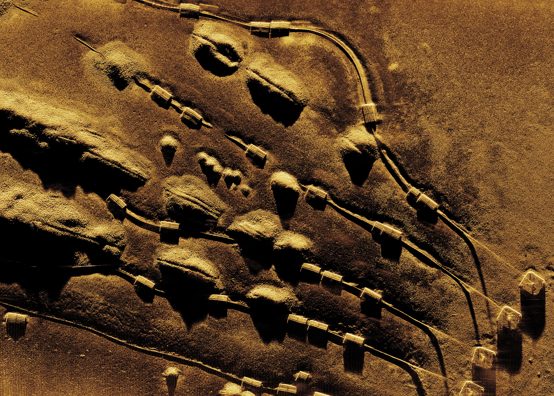
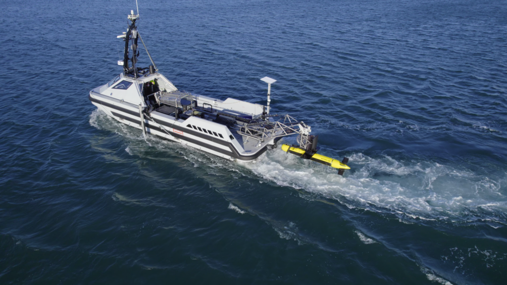
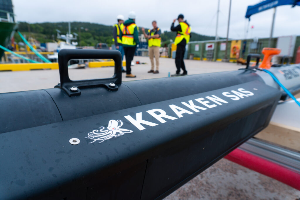
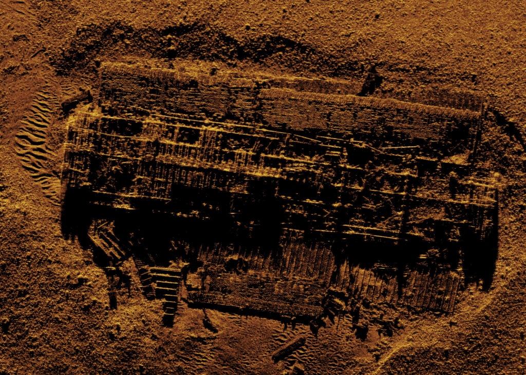
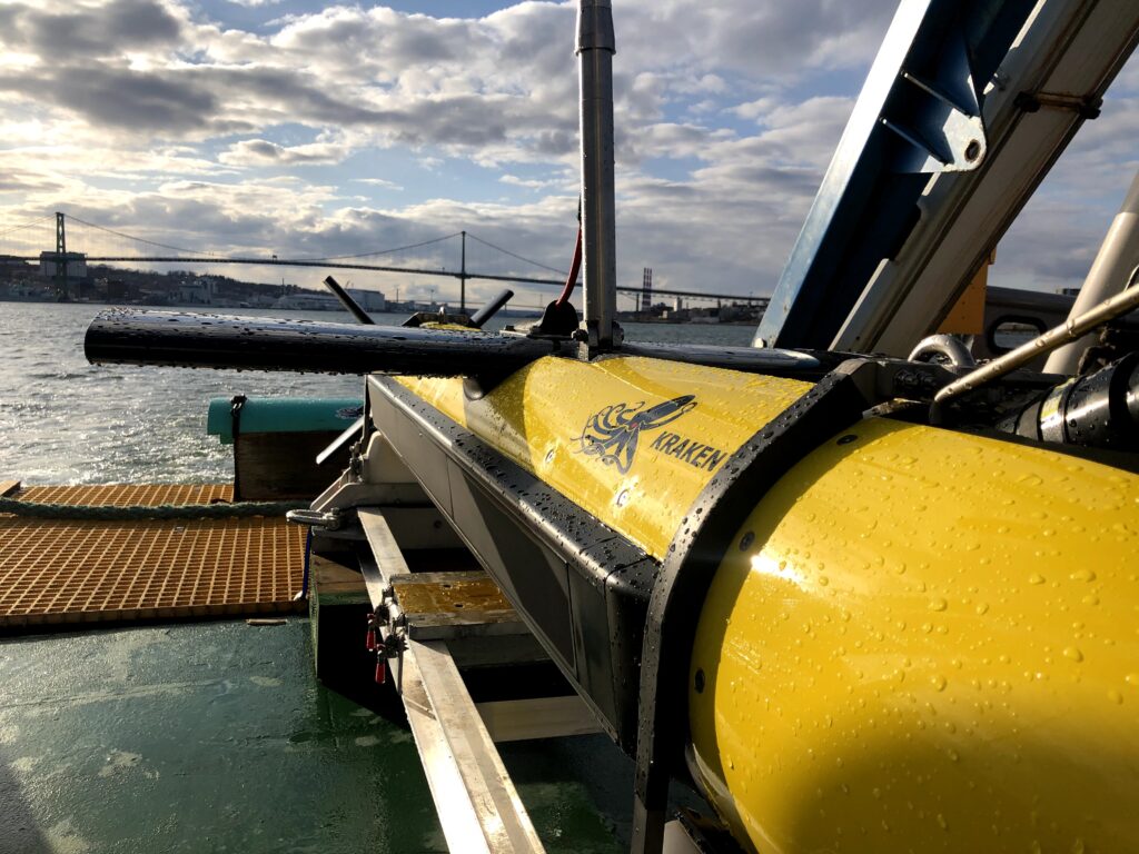
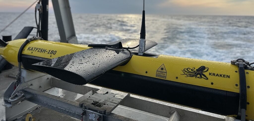
Kraken’s KATFISH towed SAS surveys acquire higher quality, wider swaths of data at faster speeds than towed sidescan sonar.

Case Studies

Depth of Burial Survey for Inter-Array Cables

Borkum Riffgrund 3 Offshore Windfarm

Sub-Seabed Boulder Survey

Symra and Solveig Oil and Gas Fields

Sub-Seabed Boulder Survey

Baltyk II & III Offshore Windfarms

Sub-Seabed Cobble and Boulder Survey

Gennaker Offshore Substation (OSS)

Latest News